The Shenandoah GIS web site updated its imagery so it includes pictures taken the first winter after we started construction (2006-2007).
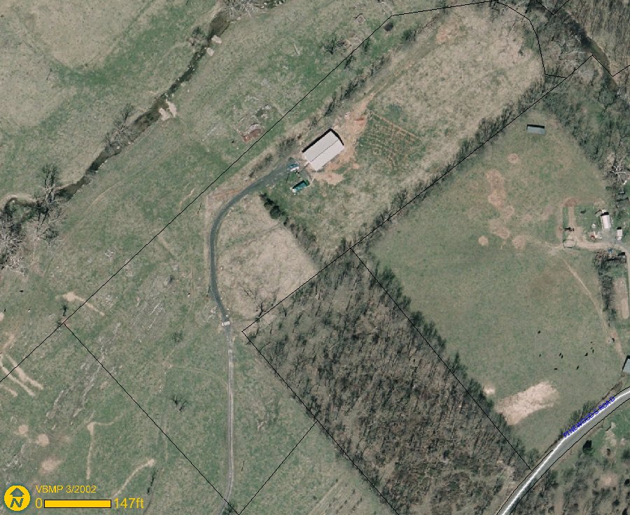
Below is a picture of the house at the highest resolution of the GIS site:
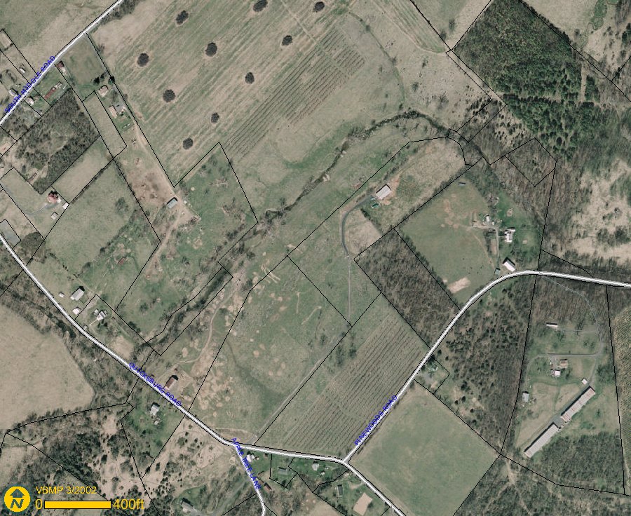
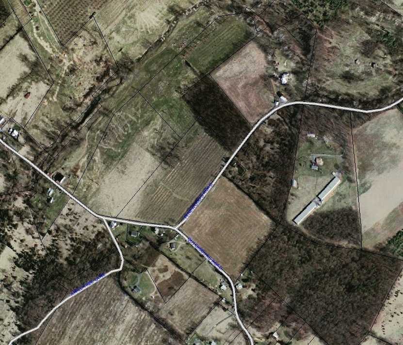
This is the entire property:
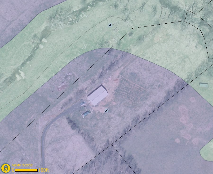
This shows the flood plain with the house in place:
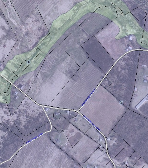
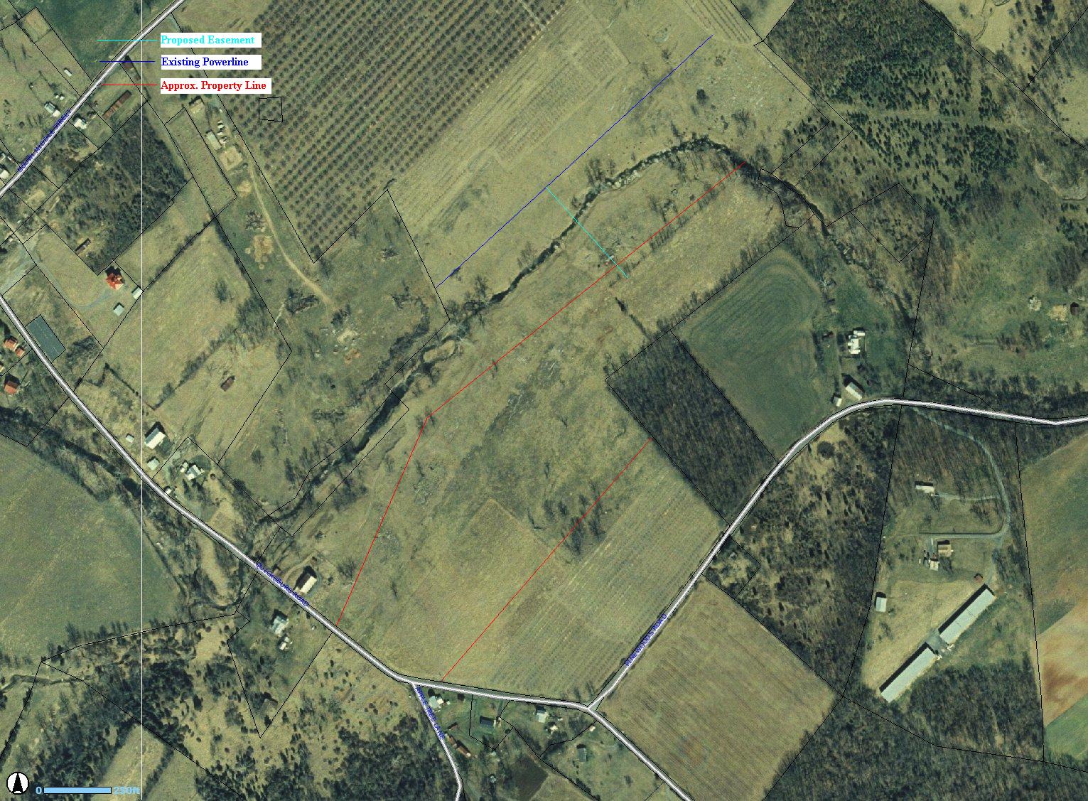
This is the approximate property boundaries (created when we though we would need an easement for the electric):
This is the boundaries of the property as supplied by the updated Shenandoah GIS web site:
This is the flood zone as shown by the Shenandoah County GIS web page:
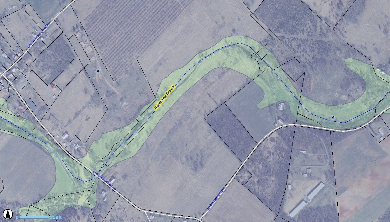
This is the flood zone including boundaries as shown by the updated Shenandoah County GIS web page: